Location: Curt Gowdy State Park, Wyoming

Last night our campsite was really peaceful, as you can see from this sunset photo. We even took a serene bike ride for about 4 miles down to the diversion dam on Lake Ogalalla. You can imagine our surprise, then, when at about 2 a.m. we woke up to the sound of our awning slapping around in violent winds! We managed to get out of bed and stumble around and get everything stowed away, so that it wouldn't blow away, but I'll bet we were a funny sight to see. We managed to get back to bed, but slept only intermittently with the wind whipping away at the van.

Our first order of business this morning was to follow up on a breakfast tip that we got yesterday by text message from Eric and Polly. They said to be sure to get some pie at Homemade Heaven in Ogalalla. We had stopped there yesterday and found out they were closed on Sunday. When we arrived today we realized we were too early because we were now on Mountain Time and had gained an hour. Oh well, next time...

On our way out of town we saw another ode to vintage road trips. This was a display of "visible" gas pumps which were the type probably being used in 1929. They were popular because they allowed the customer to see that they were buying clear gasoline, since dirt and water contamination of gas was a big issue at the time.

Laurie mentioned in her journal: "I learned about Russian thistles from experience;if someone puts one in your car for a souvenir, please don't sit down on it." I stopped and took a photo of one today as we were driving along.

Laurie wrote a very long paragraph about how ridiculous she thought the Ogalalla golf course was, since it was apparently comprised mainly of sand. " There were three or four men carrying clubs around over that. How wilted their collars must be have been for it was at least 100 degrees F." I realize that we forgot to get a photo of the current state of the golf course there. (I recall Nancy and I spending a long time trying to even locate it on our 1999 trip.) So instead I am including a photo from the Ogalalla golf course that I found on the internet. This confirms at least that they now have grass growing there.

The Russell Clan had stayed at a tourist camp at Big Springs over their weekend. (I take it that travel was not permitted on Sunday, as several of the group attended local church services on that Sunday morning.) We drove through there today and took this photo. There's even a church just as you enter town.

Laurie's crew made an early departure from Big Springs, and stopped in Sunol to eat breakfast. "It was our first experience with 15 cent milk, but not our last. By the side of the road someone pointed out THE cow of the village." I'm assuming that 15 cents (per quart?) for milk was considered very expensive in 1929. We've been paying about $3.69 per gallon. Anyway, here is a photo of the town of Sunol today. It has not faired well in 86 years, and appears to be inhabited by junk car collectors.

We drove into Sidney and stopped at the little museum there. Before we realized it, we were on a very thorough tour by a very enthusiastic elderly volunteer about every exhibit (and there were lots!) with no way of escape. Here's a photo of me in the happy moments before we were entrapped!

We crossed the border into Wyoming and stopped in Cheyenne. The Union Pacific Station there is really impressive.

Here's Debi next to one of the decorated cowboy boots that are all over town.

Just as the crew in 1929 had done, we toured the state capitol building, only we rode there on our bikes from the Union Pacific Station.

There were a number of classic looking murals of pioneer times throughout the capitol building that Laurie mentioned in her journal. The most relevant for our trip though was the photo of all the members of the state legislature in 1929. Be sure to check our Charles Spence! (Bottom row, 3rd from the right) His hair looks a lot like mine does many recent mornings, but I am careful to wear a baseball cap while walking around the campground, until I can get a shower, for fear of frightening small children.

We made two more stops to document places that Laurie mentioned in her journal: A big boulder with a tree growing out of it. (Now located between the east and west bound lanes of Interstate 80!)...

And the Ames Monument, which was built by the Union Pacific Railroad in tribute to the Ames Brothers, who contributed greatly to building of the Transcontinental Railroad. It's 60 high and 60 feet at the base. Oddly, you have to drive almost 2 miles off the interstate on a washboard gravel road to see it. Seems like a strange place for such a supposedly important monument.

This is the monument of Lincoln that stands today at the highest point on the Lincoln Highway, 8865 feet. In Laurie's day there was "a sort of little park, a log cabin converted into a tea room, a toruist supply store, and a place for a camp."

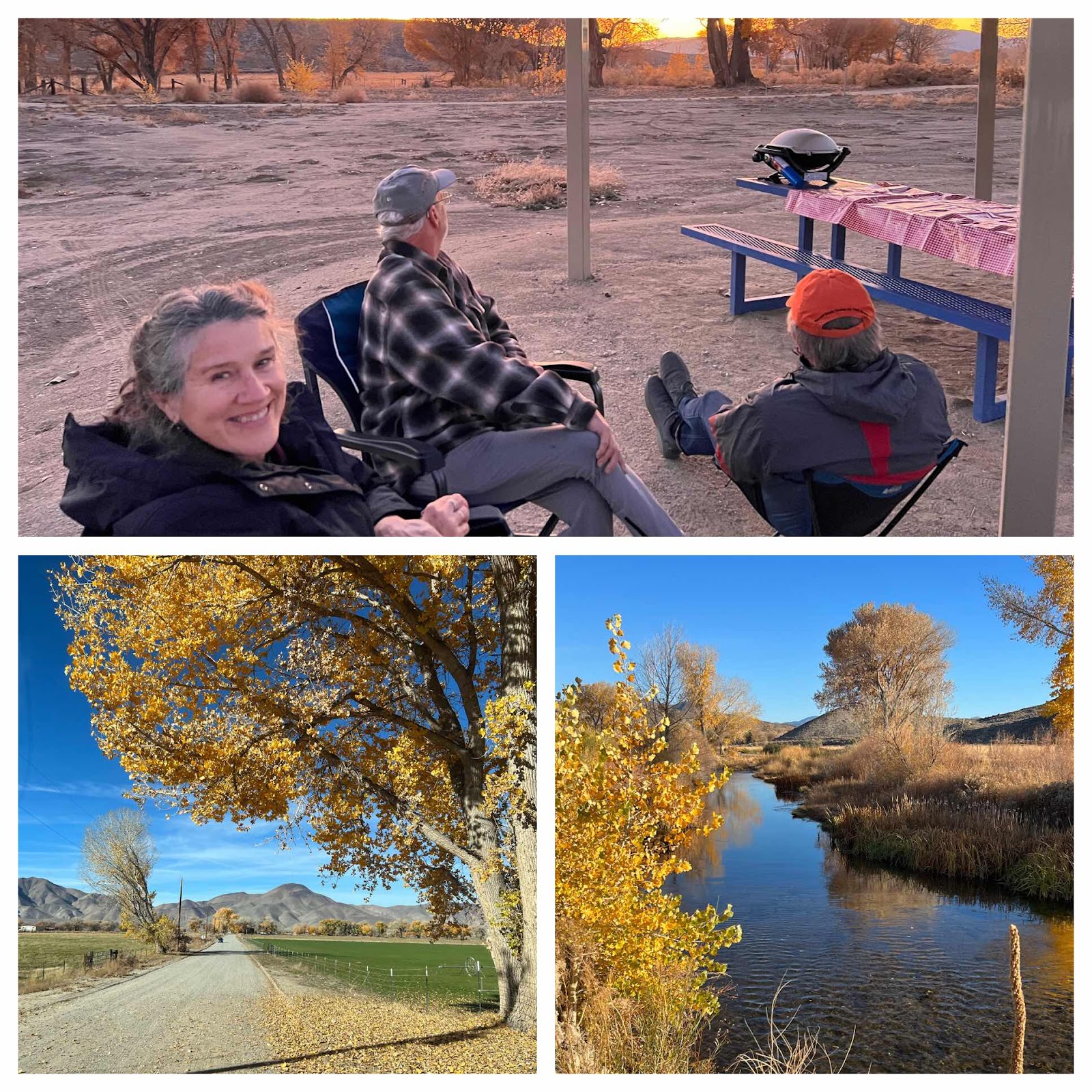
Tonight we are staying at Curt Gowdy State Park. It's an eastern Wyoming park, so it's a little sparse on trees, but the good thing is that we got a campsite on the water. Here's Debi enjoying a sangria that we improvised from things we had on hand.