 This was a very eclectic day. We started out early, dressed in our camping best (clean shorts/skirt and campfire “smoke free” shirts), ready to rub elbows with the urban folk. The road from Silver Falls to Salem was picture perfect with rolling hills dotted with the ubiquitous Christmas Tree Farms. We took a quick spin through the State Capitol to pick up some literature (er Wine Tour maps) from the Visitor’s Center and then off to the State Library to take advantage of the free wifi. We had enough of big city living and within the hour were headed on backroads through Corvalis and into Eugene. We visited about 4 wineries – all very different in atmosphere, but pretty much the same varietals. The main wine produced in Willamette Valley is either Pinot Noir or Pinot Gris. (James, you would be in heaven having to taste Pinot after Pinot). The wineries we saw were Silvan-Ridge/Hinman Vineyards, King Estate Winery (very swanky), Sweet Cheeks (new and very nice – we had a picnic lunch here. See Ned’s picture above), and Chateau Lorane. We bought some wines very different than our usual fare – a dry Riesling, an Oregon Wild Blackberry iIt sounds like it would be sweet, but it isn’t at all. We were quite surprised), and an Oregon Marionberry Mead (it reminded us of our honeymoon in Ireland where we drank mead in a castle).. I then got a bee in my bonnet that I “had” to see some covered bridges. So we took a little spin through Cottage Grove (south of Eugene) and did the 6 covered bridge tour. They were interesting from an historical point, but not nearly as picturesque as others I’ve seen. This is where the day got – how shall we say – intriguing? I’ve pretty much been the co-pilot/navigator of the trip. I’ve been working off of two different maps – one has better campground and interesting-things-to-see information and the other has a better road map. One map is from AAA – the other from the State of Oregon. Neither of these two maps match-up. Go figure. This has been the challenge and fun for me (you’ll have to ask the pilot – er Ned – what his point of view has been…) Anyway, one of the maps showed a “shortcut” to Steamboat -- the other map showed no roads at all in this area. Guess what the co-pilot suggested? Yep, you got it – we headed for the unknown. By my calculation I figured we could get there in about 30 – 45 minutes max. The difficult thing about the maps I’m using is that none give the actual names of the roads (very annoying). So, I do most of my navigation by creek names, campsite names, etc. We started down the road from the last covered bridge and were headed for “Culp Creek.” There was a washed out bridge, we found a get around, but the road wasn’t looking too promising. As luck would have it a young woman was getting out of her car and heading toward her humble abode. I asked her how far it was to Culp Creek. She said, none too friendly, “This IS Culp Creek.” We asked for directions to Steamboat, she basically told us to go back the way we came. So, after a false start (or two) we finally decided on a road that looked somewhat promising. By my calculations we were headed in the right direction, but I wanted confirmation. The road forked, there was no sign which way to go so we backtracked a short ways and asked a group of families living near the creek where to go. (Let me describe this place. Several trailers parked near the creek with a porta-potty, clothes hung all over and a truck that had written on the side “Bohemian Mine Patrol.” Uh-huh). These were the only people we ever saw the whole time on this road. We asked the gentleman for directions and he told us we were headed in the right direction but needed to keep going and going – over the mountain on a one lane road, but he assured us it was paved. One map shows the road going around Bohemia Mountain, the other map shows the area as Chilcoot Mountain. We finally reached the peak and were high on a ridge. Absolutely spectacular view – you could see multiple mountain ranges fading off into the distance in both directions. We finally descended a long, long way down and came upon Steamboat!! (Are we there yet???) Hurrah – and it only took us 1 hr and 20 minutes. The amazing thing is that Ned had a magical camping spot here about 5 years ago. He wasn’t sure he could find it again, but as we drove through the area he kept remembering different things and voila! – we are at the most amazing camping spot – EVER! We are literally camped on the edge of the North Umpqua River in a very remote spot. We have are own private beach, with a great swimming hole surrounded by rapids. This place is so great we decided to stay here for two nights – perhaps blow off Crater Lake. Hope to get in lots of swimming and just being lazy tomorrow.
Tuesday, July 17, 2007
North Umpqua River, East of Steamboat 7/16
This was a very eclectic day. We started out early, dressed in our camping best (clean shorts/skirt and campfire “smoke free” shirts), ready to rub elbows with the urban folk. The road from Silver Falls to Salem was picture perfect with rolling hills dotted with the ubiquitous Christmas Tree Farms. We took a quick spin through the State Capitol to pick up some literature (er Wine Tour maps) from the Visitor’s Center and then off to the State Library to take advantage of the free wifi. We had enough of big city living and within the hour were headed on backroads through Corvalis and into Eugene. We visited about 4 wineries – all very different in atmosphere, but pretty much the same varietals. The main wine produced in Willamette Valley is either Pinot Noir or Pinot Gris. (James, you would be in heaven having to taste Pinot after Pinot). The wineries we saw were Silvan-Ridge/Hinman Vineyards, King Estate Winery (very swanky), Sweet Cheeks (new and very nice – we had a picnic lunch here. See Ned’s picture above), and Chateau Lorane. We bought some wines very different than our usual fare – a dry Riesling, an Oregon Wild Blackberry iIt sounds like it would be sweet, but it isn’t at all. We were quite surprised), and an Oregon Marionberry Mead (it reminded us of our honeymoon in Ireland where we drank mead in a castle).. I then got a bee in my bonnet that I “had” to see some covered bridges. So we took a little spin through Cottage Grove (south of Eugene) and did the 6 covered bridge tour. They were interesting from an historical point, but not nearly as picturesque as others I’ve seen. This is where the day got – how shall we say – intriguing? I’ve pretty much been the co-pilot/navigator of the trip. I’ve been working off of two different maps – one has better campground and interesting-things-to-see information and the other has a better road map. One map is from AAA – the other from the State of Oregon. Neither of these two maps match-up. Go figure. This has been the challenge and fun for me (you’ll have to ask the pilot – er Ned – what his point of view has been…) Anyway, one of the maps showed a “shortcut” to Steamboat -- the other map showed no roads at all in this area. Guess what the co-pilot suggested? Yep, you got it – we headed for the unknown. By my calculation I figured we could get there in about 30 – 45 minutes max. The difficult thing about the maps I’m using is that none give the actual names of the roads (very annoying). So, I do most of my navigation by creek names, campsite names, etc. We started down the road from the last covered bridge and were headed for “Culp Creek.” There was a washed out bridge, we found a get around, but the road wasn’t looking too promising. As luck would have it a young woman was getting out of her car and heading toward her humble abode. I asked her how far it was to Culp Creek. She said, none too friendly, “This IS Culp Creek.” We asked for directions to Steamboat, she basically told us to go back the way we came. So, after a false start (or two) we finally decided on a road that looked somewhat promising. By my calculations we were headed in the right direction, but I wanted confirmation. The road forked, there was no sign which way to go so we backtracked a short ways and asked a group of families living near the creek where to go. (Let me describe this place. Several trailers parked near the creek with a porta-potty, clothes hung all over and a truck that had written on the side “Bohemian Mine Patrol.” Uh-huh). These were the only people we ever saw the whole time on this road. We asked the gentleman for directions and he told us we were headed in the right direction but needed to keep going and going – over the mountain on a one lane road, but he assured us it was paved. One map shows the road going around Bohemia Mountain, the other map shows the area as Chilcoot Mountain. We finally reached the peak and were high on a ridge. Absolutely spectacular view – you could see multiple mountain ranges fading off into the distance in both directions. We finally descended a long, long way down and came upon Steamboat!! (Are we there yet???) Hurrah – and it only took us 1 hr and 20 minutes. The amazing thing is that Ned had a magical camping spot here about 5 years ago. He wasn’t sure he could find it again, but as we drove through the area he kept remembering different things and voila! – we are at the most amazing camping spot – EVER! We are literally camped on the edge of the North Umpqua River in a very remote spot. We have are own private beach, with a great swimming hole surrounded by rapids. This place is so great we decided to stay here for two nights – perhaps blow off Crater Lake. Hope to get in lots of swimming and just being lazy tomorrow.
Subscribe to:
Posts (Atom)
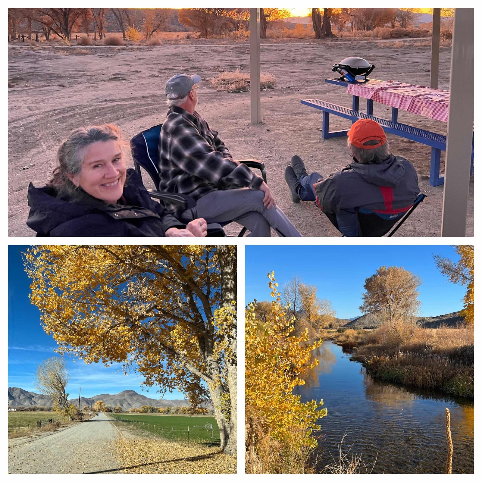
Eastern Sierras with Leila and Mike
Walker Ranch Recreation Area & Benton Hot Springs, We spent the last 4 days going off grid and exploring some unique areas around the hi...
-
 We woke up to sunny but cool weather in the Adirondack Mountains. You can definitely tell that we’re not in New England anymore, because ev...
 -
 When we woke up (rather late) this morning we were equally impressed with the blue skies and to find that we were camped near a sweet lit...
 -
 Location: Boysen State Park, WY Reluctantly leaving Custard State Park our first stop was Jewel Cave National Monument. As far as caves go...